Surkhandarya Region is a viloyat (region) of Uzbekistan
old spelling Surkhandarya Region is a viloyat (region) of Uzbekistan, located in the extreme south-east of the country. Established on March 6, 1941, it borders on Qashqadaryo Region internally, and Turkmenistan, Afghanistan and Tajikistan externally, going anticlockwise from the north. It covers an area of 20,100 km². The population is estimated at 1,925,100 (end of 2005 data),
With 80% living in rural areas. According to official data, 83% of the population are Uzbeks and 1% Tajiks,but non-official statistics show Surxondaryo is a Persian-speaking area, because most Tajiks of Uzbekistan are concentrated in the Surxondaryo, Samarkand and Bukhara regions. The highest point of the Region and also of Uzbekistan is Khazrati Sulton peak reaching 4,643 m/15,233 ft in Gissar Range.
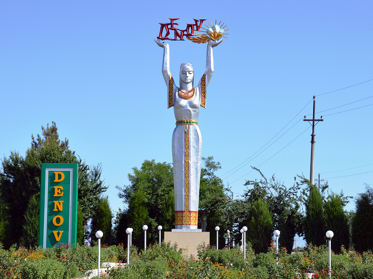
The regional capital is Termez with population of 122,900 and the second largest city is Denov (Denau) with 69,500 inhabitants (data for 2005). Other towns include Boysun, Jarkurghon, Kumkurghon, Shargun, Shirabad, Shurchi, and Sariosiyo.

The climate is continental, with mild wet winters and hot dry summers. The southern part of the region is in the Badkhiz-Karabil semi-desert ecoregion (PA0808), characterized by a savanna of pistachio and desert sedge. The northern portion is characterized by open woodlands (Gissaro-Alai open woodlands ecoregion, PA1306), with characteristic plants being pistachio, almond, walnut, apple, and juniper. Sagebrush is common at lower elevations


মন্তব্যসমূহ
একটি মন্তব্য পোস্ট করুন